GIS Analyst
GIS analysts turn location data into maps and models that planners, engineers and environmental managers use to make decisions.
- Median salary*
- $98,800
4.0%vs last year, before tax
- People employed
- 3,800
0.0%vs last year
- Projected growth*
- +8%
to 2035
- AI exposure*
- Moderate
- automation risk
- Average hours*
- 38/wk
−2h vs all jobs
- Shortage status*
- Not in shortage
national
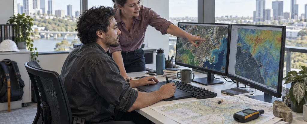
GIS analysts work in government departments, consultancies, utilities, mining companies and environmental agencies, usually as part of a small team of spatial specialists. The job sits between surveying, which measures the ground, and cartography, which designs the map: a GIS analyst builds and queries the spatial database that both depend on. Most of the week is spent at a desk in software such as ArcGIS Pro or QGIS, with occasional field visits to check that the data matches what is actually there.
How much do gis analysts earn?
The median full-time salary for a gis analyst is $98,800 per annum, before tax, up $20,600 since 2018.
Pay in this field varies more by employer than by job title, with mining, utilities and specialist consultancies generally paying above local government and community environmental organisations. Experience with particular platforms and the ability to automate workflows also pushes rates up, because those skills are harder to hire for. Contract and project work is common, and short-term rates can look higher than a permanent salary once leave and super are taken into account.
What does a gis analyst do day to day?
The list below is what fills most weeks; the exact mix shifts with seniority and whatever stage the current work is at.
- Capturing and cleaning spatial data from field surveys, satellite imagery and existing datasets
- Building and maintaining geodatabases and the spatial data infrastructure they sit in
- Producing maps, web maps and dashboards that non-specialists can read and trust
- Running spatial analysis such as overlays, buffers and network or terrain models
- Automating repeated geoprocessing with Python or FME so a job can be rerun when the data changes
What skills do gis analysts need?
Employers look for surveying and geospatial work, data analysis, statistical modelling, backed by ArcGIS Pro fluency and strong digital literacy.
Specialist skills
- Surveying and geospatial work
- Data analysis
- Statistical modelling
Software and tools
- ArcGIS Pro
- QGIS
- Python (GeoPandas)
- PostGIS
- FME
General skills
- Digital literacy
- Problem solving
- Written communication
- Attention to detail
Is the job growing?
About 3,800 people work as gis analysts in Australia, and employment is projected to grow 8% over the decade to 2035. That's modest growth: demand is steady rather than booming.
How do you become a gis analyst?
Here's the path most gis analysts take, step by step.
- 1Study a spatial or science degree
Geospatial science, geography, environmental science, surveying and computer science all lead in, and around 52% of people in the role hold a bachelor degree. A TAFE diploma in spatial information services is a recognised alternative that gets you into technician work.
- 2Learn the software and a scripting language
Employers expect familiarity with ArcGIS Pro or QGIS plus some Python, PostGIS or FME for automating geoprocessing. Practice datasets are freely available, so you can build these skills before you start applying.
- 3Get technician or field experience
Entry roles such as spatial data technician, GIS officer or surveying assistant teach you how spatial data is captured, cleaned and documented, which is most of the daily work.
- 4Specialise or add postgraduate study
About 26% of GIS analysts hold a postgraduate qualification, usually to specialise in remote sensing, hydrography or spatial data science, or to move in from another field.
- 5Join the professional body
The Surveying and Spatial Sciences Institute runs events and continuing professional development, and membership helps in a small field where people move between employers and projects.
Ready to apply as a gis analyst?
Whether you're working toward becoming a gis analyst or already are one and want a hand with the next step (sharpening your resume for ATS screening, tightening your cover letter, or knowing what you'll actually be asked at interview), here are examples grounded in this specific role, not generic templates.
What jobs can a gis analyst move to?
Moving into Mine Surveyor typically comes with the biggest pay rise, worth $26,000 a year more on average.
| Move to | Typical pay change | Overlap | Retraining |
|---|---|---|---|
| Mine Surveyor GIS analysts bring spatial mapping skills, but mine surveying requires registration and substantial retraining. | +$26,000 | 32% | requalify |
| Surveyor GIS analysts bring mapping and spatial analysis, but registration requires substantial retraining to become a surveyor. | +$20,800 | 24% | requalify |
| Hydrographic Surveyor GIS analysts bring spatial mapping and analysis skills, needing further study to specialise in hydrographic surveying. | +$10,400 | 35% | reskill |
| Data Analyst GIS analysts bring spatial analysis and mapping skills, needing a short course to move into general analysis roles. | +$2,600 | 57% | short course |
| Cartographer GIS analysts bring spatial analysis and mapping skills that transfer directly to cartography, needing little retraining. | −$7,800 | 75% | minimal |
Moves are chosen from Jobs and Skills Australia's Data on Occupation Mobility, which follows income tax records between 2011-12 and 2020-21, together with entry requirements and skill overlap. A known move is one people were seen making in that data. Pay change compares median full-time pay for the two roles.
Who works as a gis analyst?
The typical gis analyst is 42 years old; 64% are men, 84% work full-time, and full-timers average 38 hours a week.
- 42
- Median age
- 36%
- Female share
- 84%
- Full-time
- −2h
- vs all-jobs avg
What's it like being a gis analyst?
The work runs in project cycles: gathering and cleaning data, then analysing it, then producing something a non-specialist can read. Deadlines cluster around planning approvals, environmental assessments and reporting dates, and much of the pressure comes from data arriving late or incomplete. It suits people who like precision and are willing to spend a good part of the week tidying information before they reach the interesting question.
What people like
- Your work ends up in the decision. A map of flood risk or a proposed transmission line can change what a council, a miner or a utility does, and you are usually close to that conversation.
- Every dataset has its own quirks. Satellite imagery, cadastral boundaries, sensor readings and survey notes all behave differently, so the analysis rarely settles into a routine.
- Automation pays off quickly. A script or model builder workflow you write once can rerun a monthly report in minutes and free up the rest of the week.
- Colleagues rely on your judgement. Because the skills are specialised, planners and engineers depend on you to say what the data can and cannot show.
What people find hard
- Cleaning data takes longer than analysing it. Layers arrive with mismatched projections, duplicate features and missing attributes, and fixing them is unavoidable before anything else can happen.
- You wait on other people. Analysis often stalls until a survey team, a consultant or a government agency supplies data, which can push the interesting work late in a project.
- Maps get read as fact. Non-specialists treat a map as settled, so you spend time explaining scale, currency and what a boundary does not cover.
- Senior roles are thin in small teams. Many GIS teams have one or two analysts, so progressing often means changing employer or moving into broader data and management work.
Based on our synthesis of professional-body surveys and public accounts of the role, not first-person verified reviews.
Which industries employ gis analysts?
Public Administration and Safety employs the largest share of gis analysts, followed by Professional, Scientific and Technical Services.
Top employing industries
- 1Public Administration and Safety
- 2Professional, Scientific and Technical Services
- 3Electricity, Gas, Water and Waste Services
- 4Mining
- 5Transport, Postal and Warehousing
Ranked by employment share; the source doesn't publish an exact percentage per industry.
| Bachelor degree | 52% | |
|---|---|---|
| Postgraduate | 26% | |
| Diploma / Advanced Diploma | 13% | |
| Other | 9% |
Will AI replace gis analysts?
Automation reaches the routine parts of this job more than the judgement calls. Software now cleans, classifies and georeferences data and produces draft map series, and machine learning speeds up image classification, but someone still has to decide what the analysis should answer and explain the result to the people using it. The role sits at moderate exposure: more of the processing is handled by tools each year, while spatial reasoning and client work stay with the analyst.
Share of typical working time by exposure level
- Spatial analysis and modellingBuffer, overlay and network analysis can be scripted or partly generated, but choosing the method that answers the question and testing the result stays manual.30%moderate
- Digitising and cleaning spatial dataAutomated tools can georeference, classify and repair layers, although mismatched projections and contradictory attributes still need a person to work through them.25%high
- Map production and visualisationTemplate-driven map series and web maps are largely automated now, while deciding what to show, at what scale and with which caveats is still an editorial call.25%moderate
- Fieldwork, stakeholder meetings and interpretationGround truthing a layer, agreeing data standards with a client agency and explaining what a map means depend on being there and knowing the local context.20%low
Moves least exposed to AI
These career moves from gis analyst work are rated low for AI exposure:
- Surveyor
Some skill overlap (24%), requalify to get there, and a low automation-risk profile.
Common questions about becoming a gis analyst
Straight answers to the questions people ask most.
How much do GIS analysts earn?
GIS analysts earn a median of $98,800 per year, before tax, for full-time work. Pay is higher in mining, utilities and specialist consultancies than in local government and community environmental organisations.
How do you become a GIS analyst?
Most people start with a bachelor degree in geospatial science, geography, environmental science or surveying, then learn ArcGIS Pro or QGIS and enough Python to automate the repetitive work. Entry-level employers look for evidence of real analysis, so a placement, a volunteer mapping project or technician work counts for more than another certificate.
Are GIS analysts in demand?
GIS analysts are currently not in shortage, and employment is projected to grow 8% over the decade to 2035. The occupation is small, at about 3,800 people, so growth translates into a limited number of new roles each year, and government, utilities and mining projects drive much of the hiring.
Will AI replace GIS analysts?
AI is changing parts of the work rather than replacing the role. Routine digitising, image classification and map production are increasingly automated, which shifts the analyst's time towards framing the question, checking the output and explaining it. People who can script those tools and judge where they go wrong stay in demand.
What can GIS analysts move into?
Cartography uses much of the same work, with 75% of skills in common and minimal retraining, though pay is $7,800 less. General data analysis is a common move that usually needs a short course, and pay there is $2,600 more. Further study opens hydrographic or mine surveying, where pay is $10,400 more and $26,000 more respectively, but both require registration or substantial retraining.
Can you become a GIS analyst without a degree?
Yes, though it is less common. A TAFE diploma in spatial information services, or a portfolio built on free spatial datasets, can get you into technician and officer roles, and some analysts move across from surveying, drafting or IT support after learning the software on the job.
Related roles
Not sure this is you? Take the career quiz and get a ranked shortlist of roles that fit how you like to work.